Tracking Down Fallstreak Holes (with some VIIRS Day/Night Band imagery)
March 12, 2013 Leave a comment
In mid January, I went on a bike ride around town due to pleasant temperatures in the mid 50s. On my way back, I looked up at a progressing layer of altocumulus to see a giant bald spot.

Fallstreak hole!
I pondered for a little while over what it was, but I had a suspicion. As the shape held together, I knew it was a fallstreak hole! These are pretty rare but certainly catch the eye since it is a good patch of blue sky surrounded by a deck of cloud.
I knew planes were a common trigger of these because of the air mixing they cause flying through a cloud layer. Just 15 minutes ago I saw a low plane fly by and I wondered if it was caused by that. Once I got home I looked at a visible satellite view and spotted a pretty good train of fallstreak holes across central Michigan. They seemed to be on this lip of altocumulus cloud, ahead of thicker stratus clouds associated with a tracking low pressure system. With this pattern, I doubt a plane would have caused these holes. But it will remain a mystery.
Since I lost that specific image of the visible satellite view. I went digging.
NOAA CLASS (Comprehensive Large Array-Data Stewardship System) is a great resource for looking at archived satellite images. Anything from popular GOES imagery to the new Suomi VIIRS satellite images can be ‘ordered’ and downloaded. It is a large site, and it takes a little while to understand it and navigate. However once you get that crisp satellite image, you’re hooked!
Anyway, a week later I went to CLASS and started narrowing down my search results (you can easily get bogged down in hundreds of thousands of images if the search isn’t spot on). I selected the region over the Great Lakes/Michigan, and selected a time period of 2 hours around when I saw the hole from the ground. I ordered the 800mb file and got it downloaded.
The VIIRS images are .h5 files, so they must be viewed in a compatible program. I found HDFView to be a simple, free utility. What did I get? An image of some place with a bunch of clouds on it.

Where in the world am I?
Now the search features on the website had me select a region on a map to narrow down where I want an image, so I knew I must be somewhere in the upper U.S. A few features on the image stand out, so we can to match these up with a map with boundaries on it.
Looking at the details of the surface on the bottom left, it has a good consistency and it appears to have cracks on it, so this was possibly a frozen-over lake…a large one. At this time I still believed it to be a usual North at the top image. But was this really true? I went to Google maps and started searching for clues. That other patch of undisturbed white in the middle of the image almost looks like Lake Michigan, but that can’t be right. It is definitely another body of water however. Where am I?! Am I even on Earth? Then I had a breakthrough. Matching the coast line of that large lake, I noticed how there was a sharp point that pointed towards this other vertical ‘lake’. Sure enough things became clear, I was holding the treasure map upside down. This stock image was flipped 180 degrees (possibly because of ascending and descending orbits of the polar-orbiting craft, similar to MODIS), and the large lake I am looking at is a frozen over Hudson Bay with adjacent Lake Winnipeg.

Mystery almost solved!
Locating Lake Winnipeg, I cruised east and there was the upper portion of the mitten. Thunder Bay is pretty recognizable on the north-eastern tip. These images are high-resolution, so you can zoom in a get nice details. Bingo, there’s our fallstreak holes! This was taken at roughly 2:19 pm EST, so it was about 20-30 minutes before I saw the hole over Mount Pleasant.

Zoom in towards the lower right hand side shows northern Michigan peeking through the clouds.
This was a really cool find, and will definitely be using this method to document past weather events in the future!
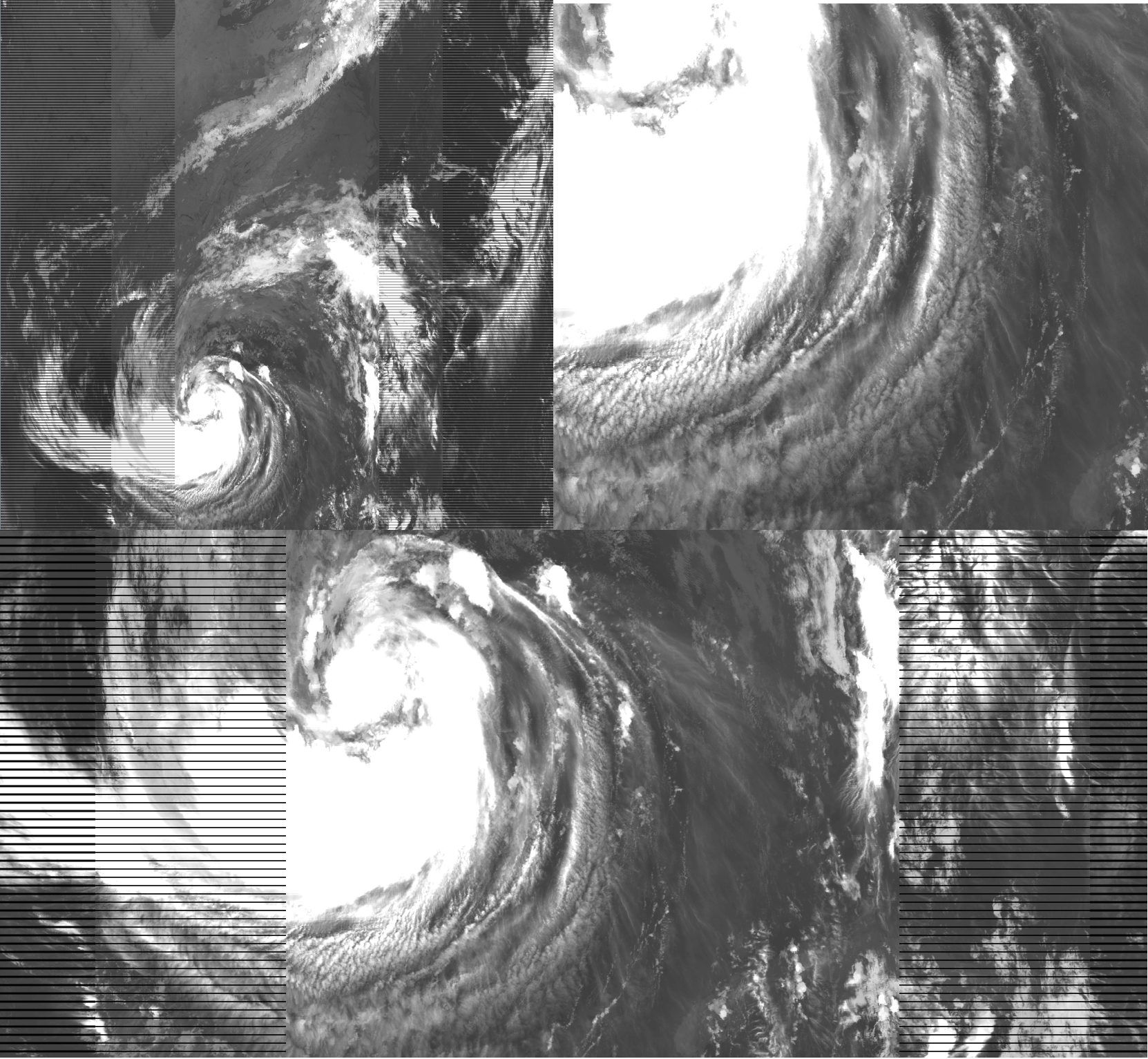
Three views of Hurricane Issac in the Gulf of Mexico. One of the great abilities of having an archive of data, is to revisit notable event dates.
